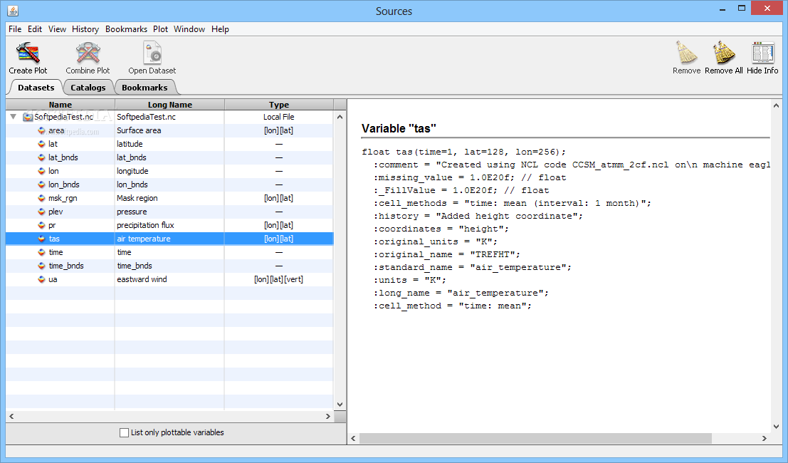
Panoply is an utility that enable user to plot raster image. Depending on the data, it can draw global longitude-latitude images or pole-to-pole latitude-vertical images.Java application which enables the user to plot raster images of geo-gridded data from netCDF datasets